| Current Conditions
|
|
|
|
|
Updated: 12:01 on 21/7/26
|
|
|
|
|
| Wind: |
3 mph from the E Gust: 7 mph |
| Today's High Wind: |
17 mph (8:29) |
| Solar Radiation: |
694 W/sqm Peak: 747 W/sqm (11:36) |
| Pressure: |
1026.08 mb |
| Humidity: |
55% |
| Dew Point: |
10.7° |
| Wind Chill: |
20.0° |
| Heat Index (feels like): |
20.7° |
| Cloud Base: |
1276 m |
| Max High Winds: |
Month 30 mph (2/7/26) Year 41 mph (22/1/26) |
| Max Temperatures: |
Month 35.6° (9/7/26) Year 35.6° (9/7/26) |
| Min Temperatures: |
Month 5.3° (14/7/26) Year -9.2° (8/1/26) |
|
| |
| Local Forecast
July 21 2026 10:00 |
|
| |
This
afternoon

Partly Cloudy |
Tonight

Mostly Cloudy |
Wednesday

Cloudy |
Wednesday
night

Cloudy |
Thursday

Partly Cloudy |
Thursday
night

Mostly Clear |
Friday

Partly Cloudy |
Friday
night

Chance rain |
| High: 23° |
Low: 12° |
High: 18° |
Low: 11° |
High: 24° |
Low: 8° |
High: 24° |
Low: 13° |
|
|
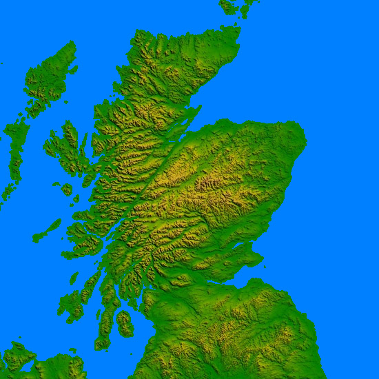
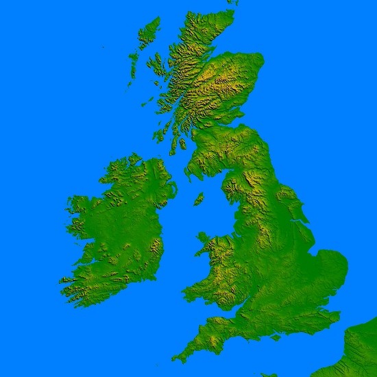
| European Jet Stream & UK Wind (click images for more) |

|

|
| Lightning Strikes & Terminator with live world weather (click images for more) |

|
|
|
|
| IR Satellite Image (click image for more)
|
|
|
Weather Cam (click image for more)
Webcam updated July 21 2026 10:57
|

|
| Pressure Chart (click image for more)
|

|
| Live Rain radar (click image for more)
|
|
|
|